Using Aerial Drones for Dolphin Research
SDRP has a long history of taking to the skies to study dolphins. In the 1990s and early 2000s, a video camera suspended from a tethered blimp was used to get overhead behavioral records of dolphins and manatees. Today, given the sharp rise of technology, SDRP has a fleet of four unmanned aerial vehicles (UAVs or aerial drones), funded by the Mote Scientific Foundation.
These integrated UAV systems allow us to quickly deploy and capture images and video with high efficiency. Although the Sarasota-Bradenton International Airport straddles the east side of Sarasota Bay, making it a no-fly zone for UAVs, the majority of our study area is open to drone use and the ability to get an overhead view opens up a new world for research.

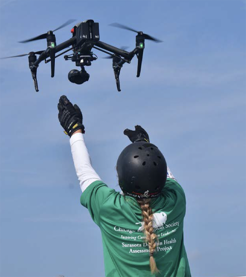
Kyleigh Fertitta, from the University of Hawaii, catching the UAV during Sarasota health assessment.
For instance, conducting focal animal behavioral follows on dolphins using drones allows us to detect fine-scale movements and responses to events with a higher level of detail and accuracy compared to vessel-based observations. In combination with boat-based observations, acoustic recordings, and data from hydrophones or digital acoustic archival tags (DTAGs), the approach can be even more powerful.
We have implemented drone use in our collaborative Strategic Environmental Research and Development Program project entitled “Towards
an Understanding of the Cumulative Effects of Multiple Stressors on Marine Mammals — an Interdisciplinary Working Group with Case Studies.” Although the turbid waters of Barataria Bay, Louisiana, make it challenging to view animals from above, we are still able to use this technology to observe their behavioral responses to approaching vessels.
In May 2022, we were joined by Fabien Vivier, studying under Lars Bejder at the University of Hawaii, to investigate the health and pregnancy status of individual dolphins through drone photogrammetry. This involved launching the drone from a boat and flying directly over top (at a safe and federally permitted altitude) to record video of the animals surfacing. Post-field work, the videos are analyzed and lengths can be determined via mathematical formulas. In Sarasota Bay, calibration of this technique is possible because of measurements obtained during health assessments. The results obtained will allow us to inform management agencies and implement conservation strategies on these populations more rapidly.
—Jonathan Crossman, SDRP Staff Researcher


